
Channel Island & Santa Barbara Topographical Map
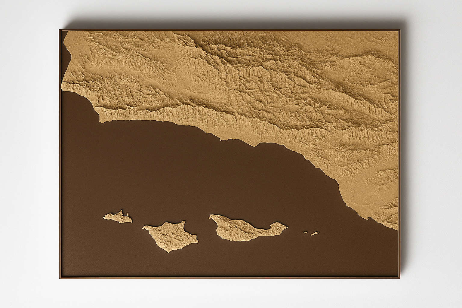
Channel Island & Santa Barbara Topographical Map
Discover Paradise in 3D
Feel the coastline beneath your fingertips. Experience California's Galápagos like never before.
This isn't just a map—it's a tactile journey through one of the world's most spectacular archipelagos. Our precision 3D-printed topographical map captures every ridge, canyon, and coastal contour of the Channel Islands and Santa Barbara region using sustainable wood biocomposite material.
Why Wood Biocomposite?
Eco-conscious beauty: Made from renewable wood fibers, not petroleum-based plastics
Natural warmth: The organic texture enhances the tactile experience
Sustainable storytelling: Your love for these pristine islands reflects in your choice of materials
Perfect For:
Marine enthusiasts planning island adventures
Educators bringing geography to life in classrooms
Conservationists showcasing California's natural treasures
Home decorators seeking meaningful, conversation-starting art
Gift-givers surprising sailors, hikers, and ocean lovers
What You'll Explore:
Trace your finger along Anacapa's dramatic sea cliffs, feel the gentle slopes of Santa Cruz Island's valleys, and discover the rugged terrain of Santa Rosa. Every canyon, coastal bluff, and island peak is faithfully reproduced in stunning detail.
Dimensions: 150 mm ×200 mm
Material: Premium wood biocomposite
Detail Level: Highly accurate topographical relief
Transform any space into a gateway to adventure. Order your Channel Islands topographical map today and bring the magic of California's coastal wilderness home.
"More than a map—it's your next adventure waiting to unfold."
Note: Customizable in size, materials and location - contact if you want a more custom product